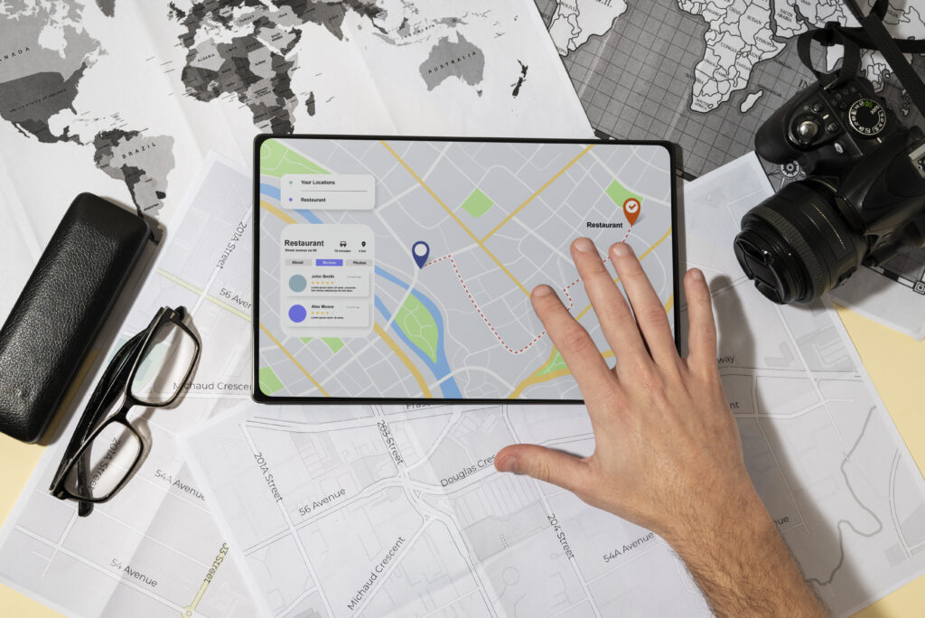
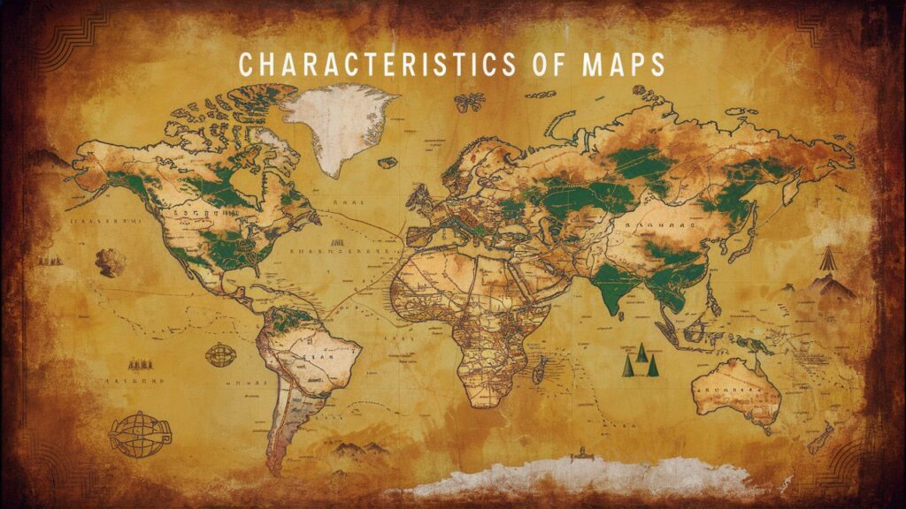
A map is the representation of the Earth’s surface or any par of it with a definite scale. Maps present information about the world in a simple way. Maps can display political boundaries, population, physical features, natural resources, roads, climates, elevation and economic activities. Here we will discuss about the most essential characteristics of Maps.

- Title: The title of a map is a crucial element that serves a specific purpose. It may include information such as the geographic area covered, the subject matter or specific features highlighted. In some cases, the title might include a date, especially for historical maps or those depicting information that changes frequently. A map title acts as a guidepost helping users quickly understand what the map depicts and whether it meets their information needs.
- Scale: A map represents a real-world space, but it’s impossible to depict everything in exact size. Scale bridges this gap by indicating the relationship between distance on the map and actual distance on the Earth’s surface. This relationship can be expressed by a ratio, for example 1:500, 1:1000 that means any given unit of measure on the map is equal to five hundred, thousand on earth respectively. Maps scale also represent by verbal scale, such as ‘one millimeter represents one miles’.
- Direction or Orientation: The direction or orientation at a map refers to how it is aligned relative to the coordinal directions (north, south, east, west). Maps typically include a compass rose or an arrow indicating north, which makes it easy for users to relate the map to their surrounding and to other maps. Maps direction is essential for interpreting spatial relationships accurately, navigating and using maps effectively for various purposes such as travel, planning and education.
- Symbols and Colors: Maps use symbols and colors to represent different features such as roads, rivers, mountains, forest, cities, agriculture etc. For example, Green is often used for forests; Blue for water bodies like oceans, revers, lakes; Black for roads, borders etc. Therefore applying colors, maps become more visually engaging and informative, allowing users to quickly grasp the information being presented. Similarly symbols are the building blocks for any map. Symbols, such as points, lines, areas are used for features like cities, parks, roads, borders, forests etc. By using a well-designed set of symbols and a clear legend, map can effectively communicate a vast amount of geographical information in a concise.
- Date of Publication: Maps are representations of geographic features and the world changes over time due to natural processes, human activities and technological advancements. Therefore, the date of publication is essential for understanding the temporal context of the information presented on maps, ensuring accuracy, relevance and suitability for various uses ranging from everyday navigation to scholarly research and historical analysis.
- Index: An index of on a map typically refers to an alphabetical listing of places, features or coordinates, along with their corresponding map locations or grid references. The index helps users to quickly find specific places or features on the map by providing their exact map location on grid coordinate. They enhance the functionality of the map as a navigational tool and a resource for geographic information.
Conclusions:
Maps are powerful tools for conveying geographical information. They achieve this though a combination of essential characteristics that work together seamlessly. From their scale and projection to symbols, legends and orientation on maps they all are act as a visual language that provide a structural representation of the Earth’s surface. Ultimately, the comprehensive characteristics of maps underscore their role as vital instruments in understanding and interacting with our complex world.
Frequently Asked Questions:
What is Scale of a Map ?
What are the types of maps ?
1. Reference maps: (a) Political Maps
(b) Physical Maps
(c) Road Maps
(d) Topographic Maps
(e) Cadastral Maps
2. Thematic maps: (a) Weather Maps
(b) Climate Maps
(c) Resource Maps
(d) Population Maps
(e) Economic Maps
Also Read:
: EXPLAIN THE VARIOUS COMPONENTS OF GIS.
: Essential Characteristics Of Maps


